
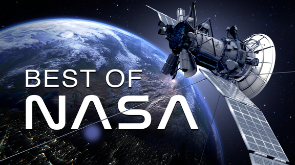

Best of NASA
More Episodes
Episode 1


Related Titles


Related Articles
View All
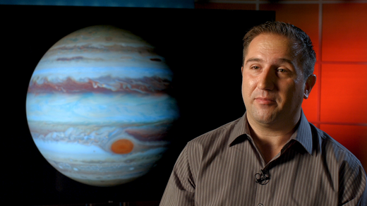
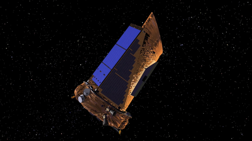
NASA’s Top 10 Inventions
Feb 22, 2023
NASA has contributed many inventions and technologies that have significantly changed our world. Which ones have been the most impactful?